Weather tech and warning systems: IMD issues multi-state alert for snow, hail and widespread rain from 26 January
The India Meteorological Department has issued alerts for several regions as a western disturbance is expected to bring widespread unsettled weather from 26 January 2026, including heavy snowfall, hailstorms, thunderstorms and gusty winds. Forecasts indicate impacts peaking around 27 January before gradually easing. Travel disruption risks remain high in affected hill and plains areas.
- Reporting desk
- Health India Network News Desk
- First published
India’s weather monitoring and forecasting systems are set to be tested over the coming days as the India Meteorological Department (IMD) has issued multi-state alerts tied to an incoming western disturbance. From 26 January 2026, several parts of northern, northwestern and central India are expected to see a spell of unsettled conditions, with forecasts flagging heavy snowfall in higher reaches and the possibility of hailstorms, thunderstorms, gusty winds and fluctuating temperatures in multiple regions.
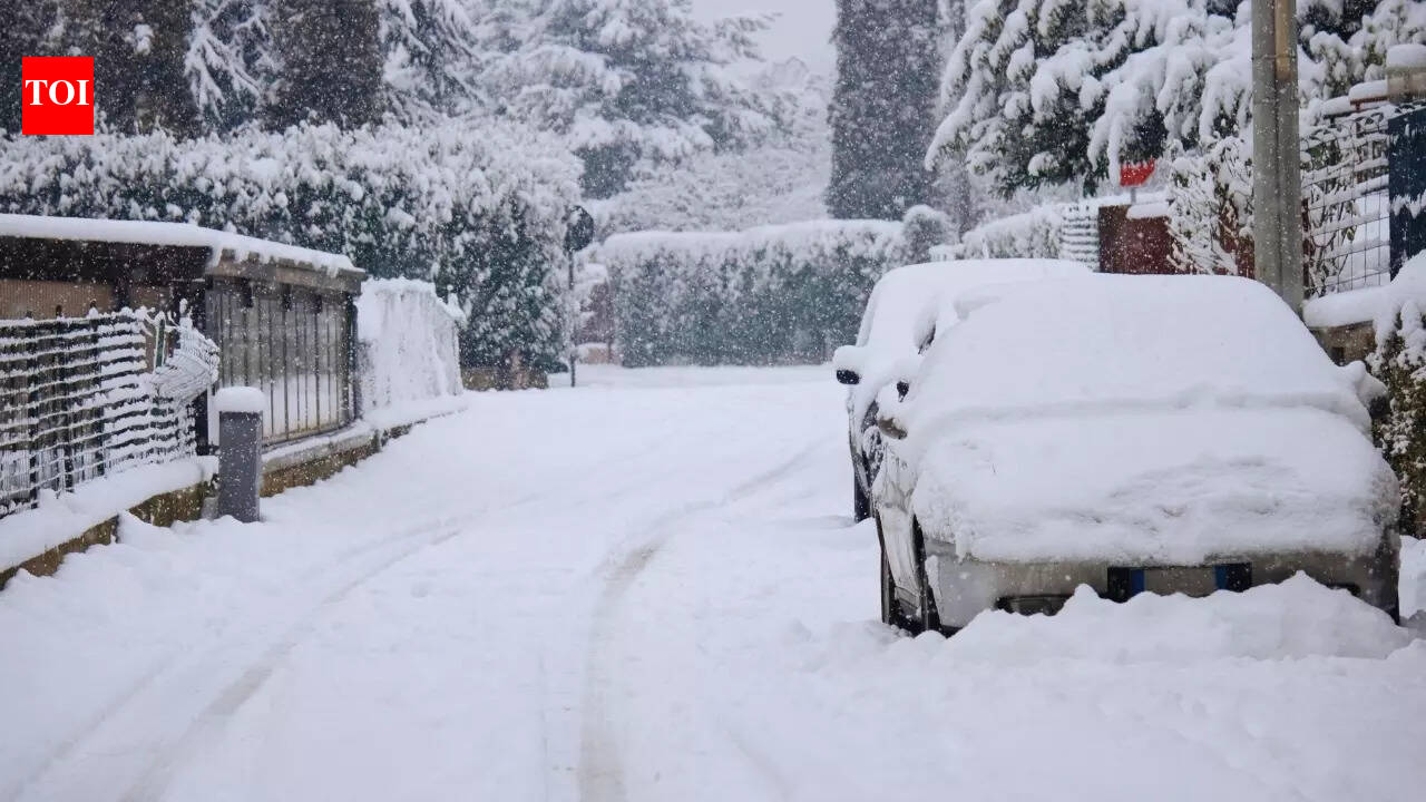
According to the outlook, the impact is expected to intensify on 27 January, which could see the most significant snow and hail activity. The forecast also notes that conditions should begin to weaken gradually from 28 January, though stormy weather may continue in pockets. Ahead of the disturbance, dense fog and cold-wave conditions are expected to persist through 26 January, increasing the likelihood of reduced visibility, slower road movement and cascading delays.
For travellers and logistics operators, the immediate concern is disruption—especially in hill states where snow can quickly block highways, and in plains areas where fog and rain can reduce driving safety. Authorities typically issue advisories during such spells, and commuters may face intermittent closures, longer travel times, and higher risk of being stranded if conditions worsen faster than clearance operations can keep up.
The alert cycle also highlights the role of forecasting technology and dissemination systems: satellite imagery, radar-based tracking, station observations and model-guided nowcasts are crucial for early warnings, particularly when hailstorms or thunderstorms develop rapidly. For citizens, the practical takeaway is to monitor local IMD bulletins, avoid unnecessary high-altitude travel during peak impact windows, and plan for delays in road, rail and air movement.
While western disturbances are seasonal, the combination of fog, snow and hail can create a multi-hazard scenario where the same corridor sees different risks over short distances. The coming spell, starting 26 January 2026, is expected to be one such period, with the heaviest activity around 27 January, followed by a gradual easing thereafter.