IMD flags fresh western disturbance: rain and snow in western Himalayas, cold-wave pockets in the plains
A new spell of active winter weather is set to sweep across north, northwest and parts of central India from January 27, with the IMD warning of widespread rain/snow in the western Himalayas, thunderstorms and gusty winds in adjoining plains, and patchy dense fog and cold-wave conditions.
- Reporting desk
- Health India Network News Desk
- First published
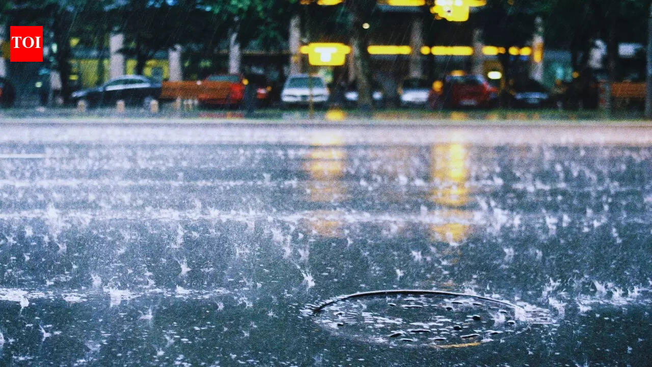
India’s winter pattern is turning more active from Tuesday, January 27, 2026, as the India Meteorological Department (IMD) forecasts a fresh western disturbance affecting large swathes of the country. The IMD’s all-India bulletin points to widespread rain and snowfall over the western Himalayan region, along with thunderstorms, lightning and gusty winds spilling into the plains—conditions that can quickly disrupt travel, visibility and day-to-day routines.
Rain and snow likely across key hill states
The IMD expects fairly widespread to widespread precipitation over Jammu & Kashmir, Ladakh, Himachal Pradesh and Uttarakhand on January 27, with activity continuing in Uttarakhand on January 28. In higher reaches, this can translate into snowfall that affects road access and increases the risk of temporary closures, especially on mountain routes that are already sensitive to weather swings.
Alongside the main precipitation zone, the bulletin also notes the possibility of isolated heavy rain or snowfall in some hill pockets on January 27. Such short, intense bursts often have outsized impact—slowing traffic, triggering localised power interruptions and forcing changes to flight or rail schedules in and around hill corridors.
Thunderstorms, gusty winds and possible hail in adjoining plains
The system is not limited to the mountains. Scattered to fairly widespread light-to-moderate rain is expected over Punjab, Haryana and Chandigarh on January 27, with thunderstorms and gusty winds that may reach around 40–50 kmph and gust higher in short spells. Similar stormy conditions are indicated for parts of west Uttar Pradesh and Rajasthan, with east Uttar Pradesh also likely to see rain and storm activity across January 27–28.
The IMD has also signalled isolated hail potential on January 27 across select parts of Jammu & Kashmir, Himachal Pradesh, Uttarakhand, west Uttar Pradesh and Rajasthan. While hail events can be brief and local, they can damage standing crops, orchards, temporary structures and exposed vehicles, and can make road surfaces suddenly slippery.
Fog and cold-wave pockets: what commuters should watch
Dense fog is forecast in isolated pockets over several northern states during morning and night hours, which can sharply reduce visibility and slow road and rail movement. The IMD also indicates cold-wave and cold-day conditions in limited pockets across parts of north India, adding to health and safety risks for outdoor workers, schoolchildren and the elderly.
With another western disturbance expected to approach northwest India from the night of January 30, the unsettled pattern could persist into the month-end, meaning travellers and residents may need to plan with flexibility and keep an eye on updates and warnings.