IMD warns of heavy snow, hailstorms and widespread rain in multiple states from Jan 26; peak impact expected Jan 27–28
A fresh western disturbance is set to bring rain, snowfall, hailstorms, thunderstorms and gusty winds across north, northwest and central India from January 26, with the most intense activity forecast for January 27–28, the IMD bulletin said.
- Reporting desk
- Health India Network News Desk
- First published
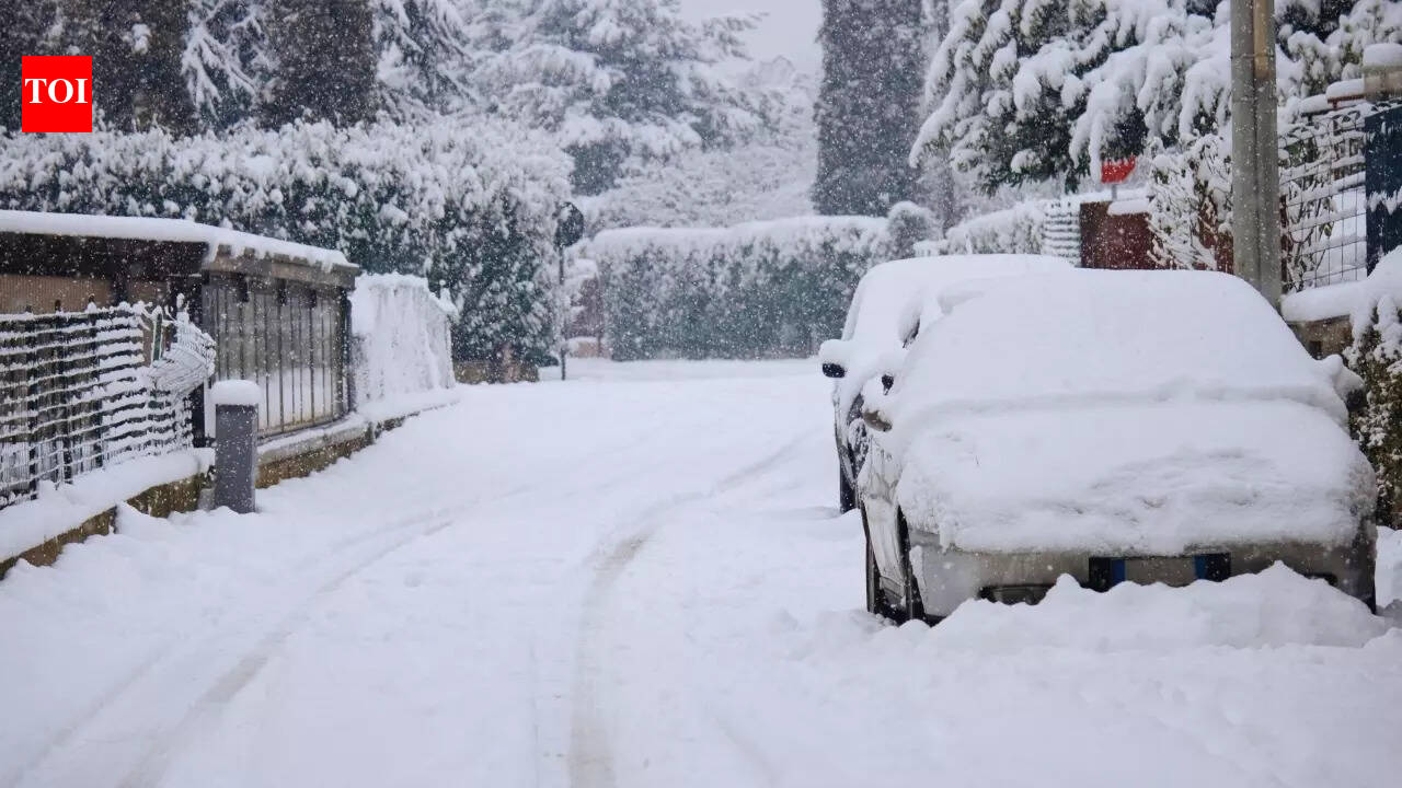
A new western disturbance is expected to trigger a fresh spell of unsettled weather across large parts of north, northwest and central India starting January 26, according to the India Meteorological Department (IMD). The system is forecast to bring rain and snowfall in the western Himalayan region and spill over into adjoining plains with thunderstorms, hail and gusty winds.
What the IMD is forecasting (Jan 26–28)
- January 26: Deteriorating conditions begin in several regions; thunderstorms likely in parts of Kerala and Mahe; dense fog may persist in pockets (including parts of Uttar Pradesh); rough sea conditions expected in far-south waters.
- January 27: Peak day expected, with heavy rain/snow at isolated places in Himachal Pradesh and Jammu & Kashmir–Ladakh; hailstorms and strong winds possible across several hill and adjoining plain districts.
- January 28: Gradual weakening expected, but storms, gusty winds and scattered precipitation may continue in multiple areas.
Why this matters now
The IMD flagged potential disruptions to travel and connectivity in hill regions due to heavy snowfall, while fog and storms may affect road, rail and flight operations in parts of the plains.