IMD flags fresh western disturbance from 26 Jan; snow, hail, thunderstorms and dense fog risk across multiple states
A new western disturbance is expected to trigger widespread rain and snow across north, northwest and central India from 26 January, with peak intensity likely around 27 January. The IMD has also warned of hailstorms, gusty winds and continued dense fog in pockets, prompting travel and marine advisories.
- Reporting desk
- Health India Network News Desk
- First published
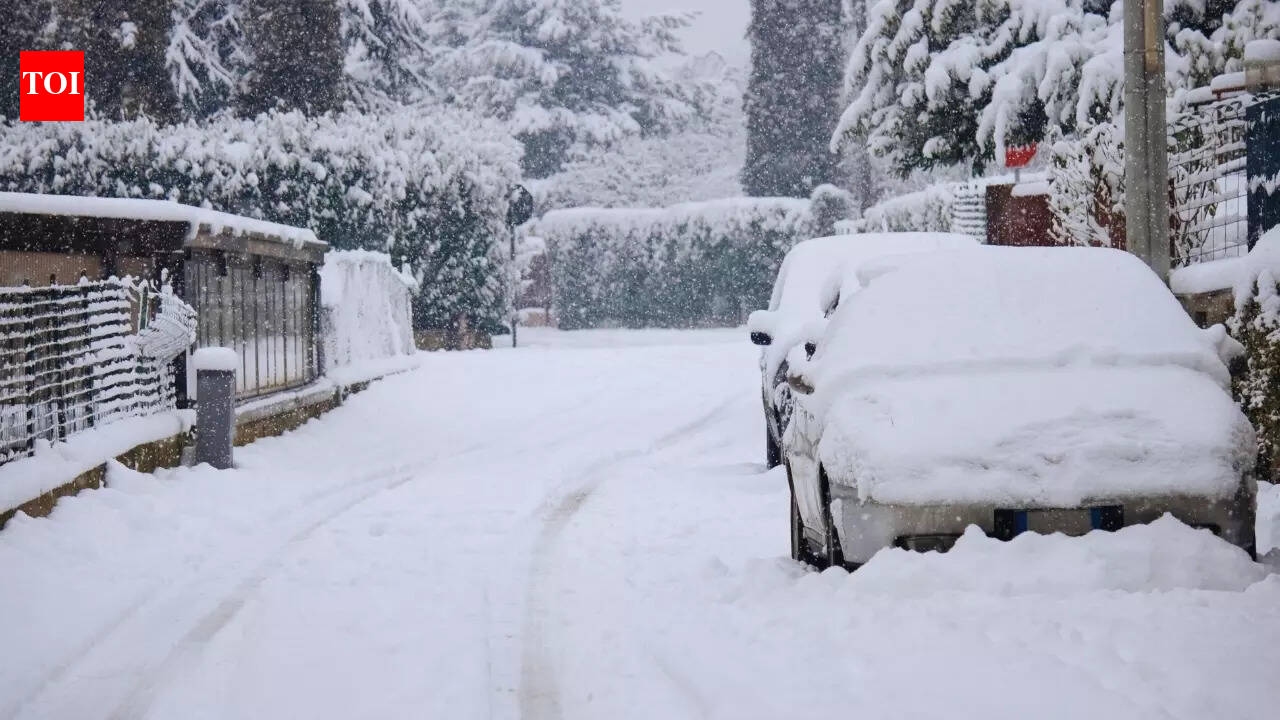
India is set for another spell of disruptive winter weather starting Sunday, 26 January 2026, as a fresh western disturbance moves in. The India Meteorological Department (IMD) has warned of a mix of rain, snowfall, thunderstorms, hail and gusty winds across large parts of north, northwest and central India.
What to expect and when
- 26 Jan: Weather begins to turn unstable in many regions, with thunderstorms in parts of the south, and dense fog expected in pockets of western Uttar Pradesh.
- 27 Jan: Forecast peak impact — heavy rain/snow at isolated places in Jammu & Kashmir, Himachal Pradesh and Ladakh; hailstorms and strong gusts possible in hill states and adjoining plains.
- 28 Jan: Gradual weakening, but stormy conditions may continue in parts of the plains and hills; squally winds remain a concern over southern waters.
Why it matters
IMD cautions that fresh snowfall and hail may affect mountain road connectivity and tourism, while fog and thunderstorms could disrupt flights, trains and highway traffic in pockets of the Indo-Gangetic plains. Fishermen have also been advised to be cautious due to rough sea conditions in southern coastal areas.
The forecast points to a short but active wet phase, with the most intense activity expected around 27–28 January.