IMD flags fresh western disturbance from 26 Jan: snow, hail and storms likely; fog and cold wave linger in pockets
India’s weather is set for another active spell from 26 January as a western disturbance approaches, with the IMD warning of rain and snowfall in the Himalayas and thunderstorms, hail and gusty winds spreading into adjoining plains. Dense fog and cold-wave conditions may persist in isolated pockets through 26 January, potentially affecting travel on Republic Day.
- Reporting desk
- Health India Network News Desk
- First published
A fresh western disturbance is expected to push north and northwest India into a new round of unsettled weather starting 26 January, the India Meteorological Department (IMD) said in its latest national bulletin. The system is forecast to bring rain and snowfall in the western Himalayan region, while also triggering thunderstorms, hail and gusty winds across parts of the plains and central India.
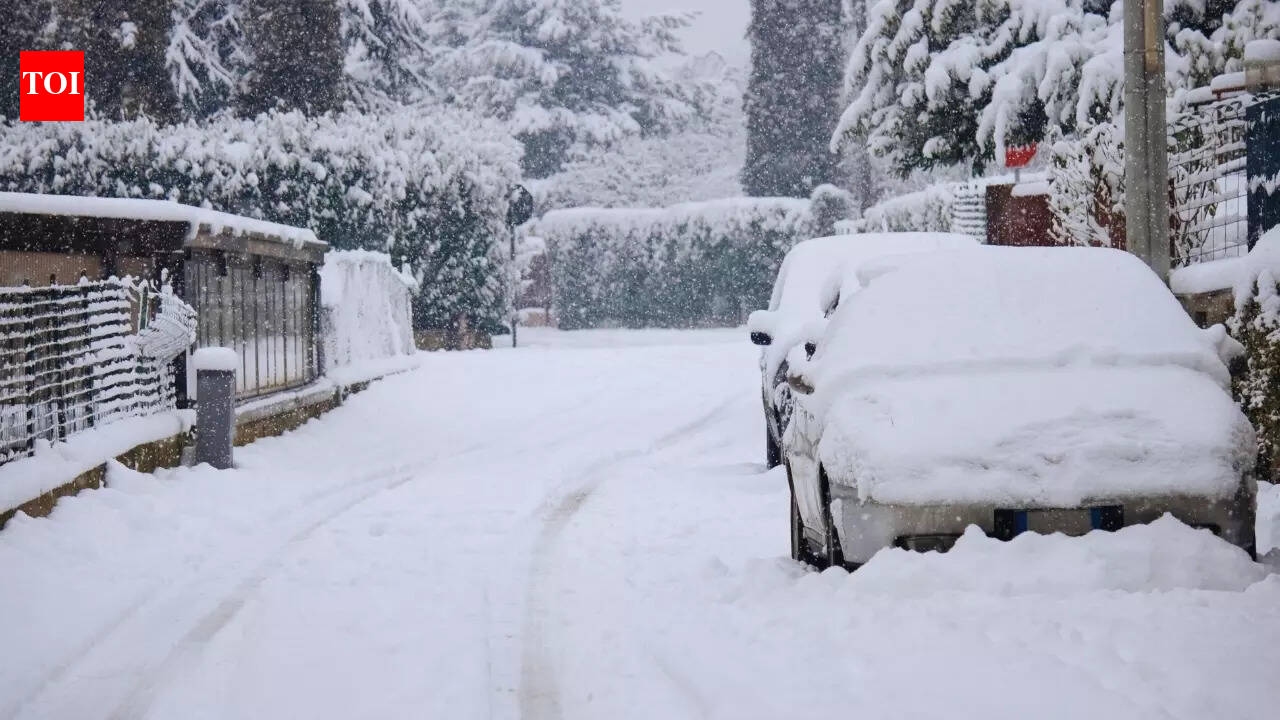
According to the IMD outlook, the impact begins to build on Republic Day (26 January) and intensifies the next day. Jammu & Kashmir and Himachal Pradesh are among the states where heavy rain or snowfall may occur at isolated places, while thunder activity could extend into adjoining plains and further south in pockets.
Peak activity window: 27–28 January
IMD projections indicate 27 January as the most active day of the spell, with widespread disruptive potential—fresh snow accumulation in higher reaches, hail in select hill and plain districts, and strong winds that can aggravate travel delays. While the system is expected to gradually weaken by 28 January, stormy conditions may still persist in several pockets, especially where thundercloud development remains favourable.
Fog and cold-wave conditions still a concern through 26 January
Even as the new disturbance approaches, dense to very dense fog is still likely at isolated places in parts of north India through 25–26 January, alongside cold-wave conditions in isolated pockets. The overlap of fog, rain bands and wind can reduce visibility and increase the risk of traffic pile-ups, rail delays and flight disruptions in early morning hours.
Travel advisory
For travellers, the near-term risk is two-fold: fog-related low visibility during night and morning hours, and weather-driven disruptions once the disturbance turns active. Mountain roads can see temporary closures due to fresh snow, while the plains may see short, sharp storm spells with lightning, gusts and occasional hail. Those planning road trips around the long weekend or Republic Day events should monitor local warnings and avoid high-altitude routes during peak snowfall periods.