IMD flags active western disturbance from Jan 26, warns of snow, hail and gusty winds
A new western disturbance is set to bring a fresh spell of unsettled weather across north, northwest and parts of central India from January 26, with the India Meteorological Department warning of rain and snowfall in the western Himalayas, hailstorms in pockets, thunderstorms and strong winds. The system is expected to peak around January 27–28, while fog and cold-wave conditions persist in some regions through January 26. Authorities have advised travellers and commuters to stay alert as visibility, roads and transport links could be affected.
- Reporting desk
- Health India Network News Desk
- First published
What’s changing from January 26
The India Meteorological Department (IMD) has forecast a fresh wet phase beginning Monday, January 26, 2026, driven by a western disturbance. The system is expected to impact large parts of north, northwest and central India, bringing a mix of rain, snowfall, hailstorms and thunderstorms, along with gusty winds and fluctuating temperatures. The outlook also notes that conditions are likely to become more active through January 27–28, when the disturbance is expected to be at its strongest.
Republic Day outlook: thunderstorms, fog and rough sea conditions
On January 26, weather is forecast to start deteriorating in several regions. IMD expects thunderstorms with lightning at isolated places over Kerala and Mahe, while dense fog may continue at isolated locations over parts of west Uttar Pradesh, potentially affecting early-morning visibility. Marine conditions are also expected to turn rough over areas such as the Gulf of Mannar and the Comorin region, with squally winds forecast, prompting cautionary advice for fishermen and small vessels.
Peak impact on January 27–28
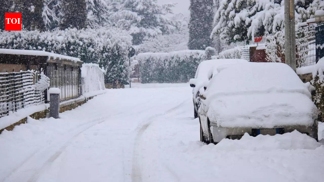
IMD has indicated that January 27 could be the most active day, with heavy rain or snowfall likely at isolated places over Himachal Pradesh and the Jammu & Kashmir–Ladakh region. Thunderstorms accompanied by hailstorms are also expected at isolated places over Himachal Pradesh, Jammu & Kashmir, Ladakh and parts of Uttarakhand, while gusty winds are forecast in pockets across the plains. By January 28, the system is expected to gradually weaken, but storm activity may still continue in parts of the plains and the hills.
Fog and cold-wave pockets continue until January 26
Alongside the incoming disturbance, IMD also expects dense to very dense fog in pockets over Punjab, Haryana and Chandigarh on January 25–26, with fog also likely in parts of Himachal Pradesh and sub-Himalayan West Bengal and Sikkim. Cold-wave conditions are forecast in isolated pockets over Himachal Pradesh, Punjab, Haryana-Chandigarh and Rajasthan on January 25–26, before the new system becomes dominant and shifts the weather pattern.
Travel advisory: plan for disruptions
- Hilly areas may see heavy snowfall and hail, which can affect road connectivity and tourist movement.
- Plains may see thunderstorms and gusty winds, with possible transport delays.
- Fog on January 26 may continue to impact flights, trains and highways in some northern states.
- Check local advisories before road travel and keep extra buffers for delays.